Sat, Sep 18th, 2021 - 3:48pm
May 21, 2021 - 3:46pm | By Justin Storm
Going into our weekend there is the potential for some severe weather.
Scattered thunderstorms possible later this afternoon and early evening. Going overnight more storms will develop, mostly out west between Jamestown and Bismark which will track northeast towards Grand Forks, ND into early Saturday morning.
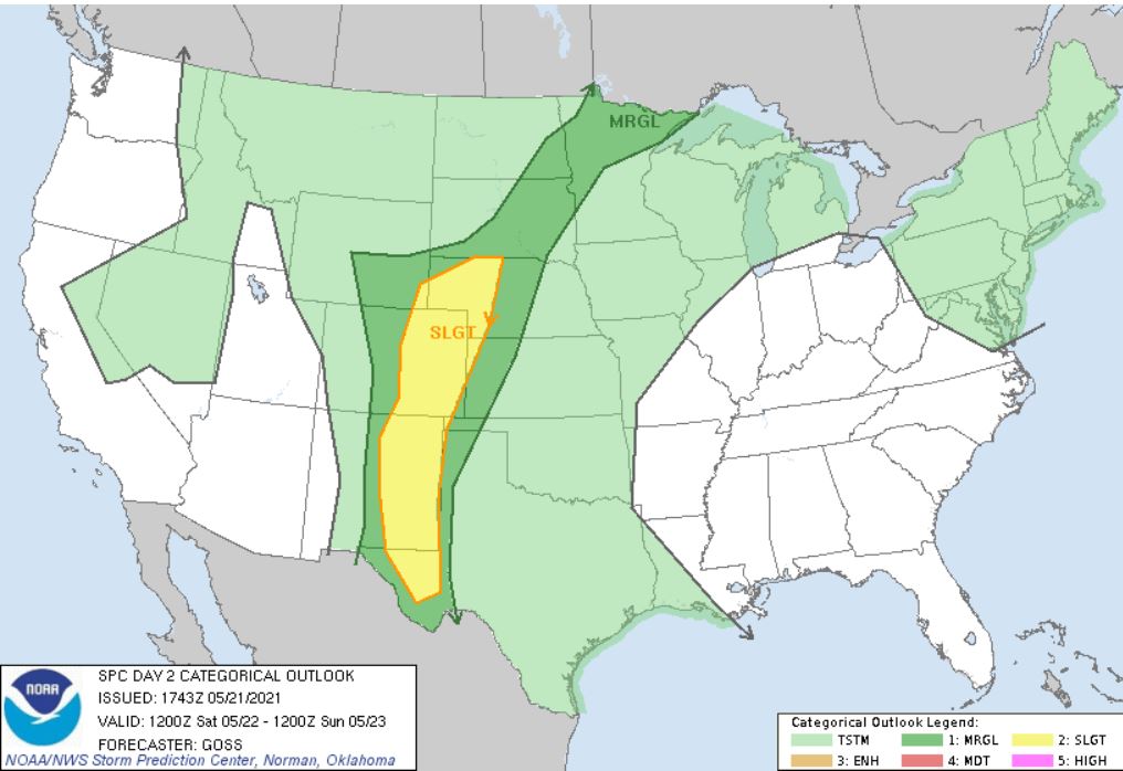
Saturday morning and afternoon a few thunderstorms possible across the southern valley into lakes-country and northern MN. The SPC (Storm Prediction Center) has issued a marginal risk for severe weather (Image 1 (top)). Storms may become more widespread in the evening and overnight. Moderate deep-layer flow may allow a few stronger storms to evolve.
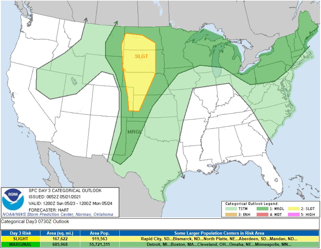
Sunday: An upper-level trough is expected to move across the northern Rockies into the northern Great Plains, with a mid-level jet maxima extending across CO into the Dakotas. This looks to be mostly a South Dakota and Nebraska event. However, if we can achieve enough moisture transport into southern North Dakota we could see some thunderstorms develop which could reach severe severity. We will continue to monitor this event going into the weekend, and provide additional updates. (Image 2. SPC outlook for Sunday)
Meteorologist,
Justin Storm