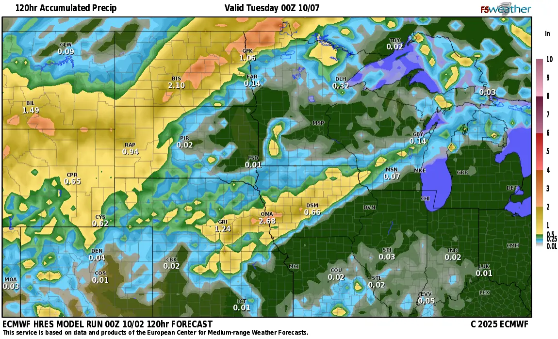
We have had an UNBELIEVABLE stretch of warm weather. Temps over the last 10 days have been WELL above normal and now, it’s time to slap us back into reality with much cooler weather heading our way. Now, it won’t be COLD but just a return to “normal” temps with highs in the 60s to start off next week. As we transition into the “cooler” weather, a storm system will bring some much needed rain to parts of the area. The majority of our models are leaving the heavy rain to the west and north of the F/M area:
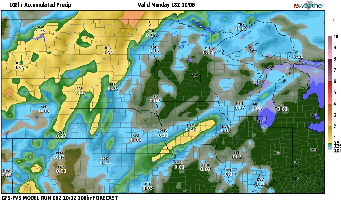
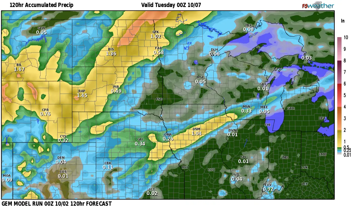
Now, a few other models are TRYING to bring some more appreciable precip to the F/M area:
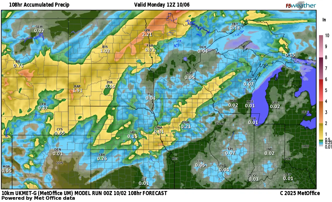
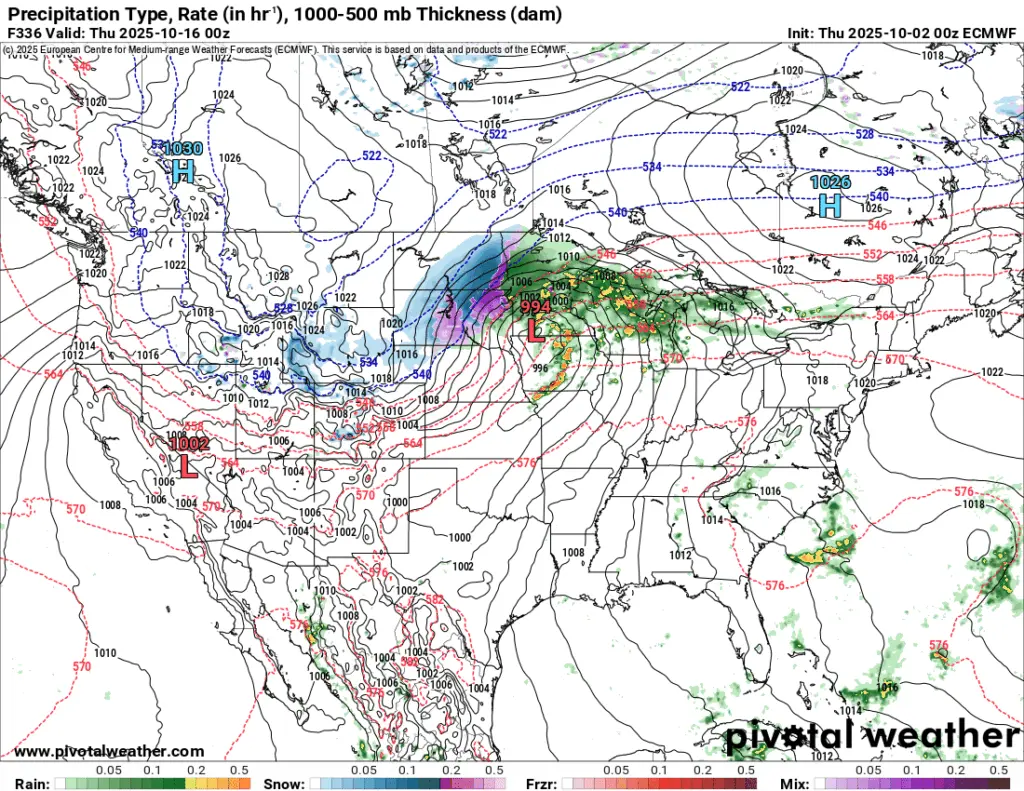
I’m not quite buying in on the “wetter” forecast for the F/M area, however. Now, the NEW LRC cycle starts early next week and it appears it will start out on a dry note for the first few days. However, by mid month we start to turn more “active” and could we have an October “surprise”? Here’s a look at 2 of our long range models for the time frame around the 15th of October:
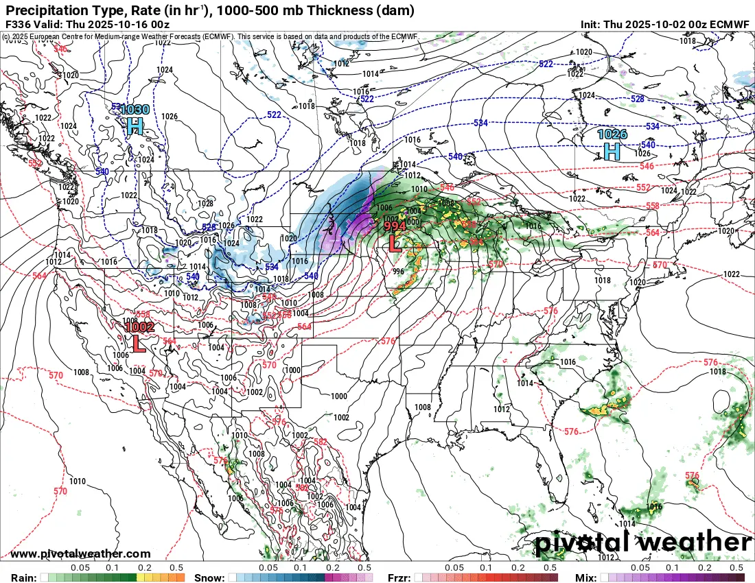
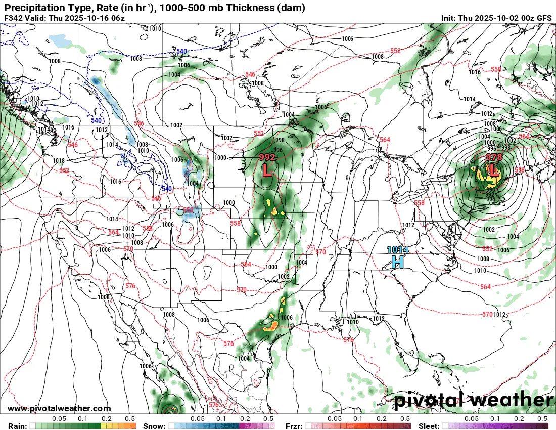
It’s not often that you see our long range models in agreement on the same storm 2 weeks out. With that being said, i’m sure this will change as we get closer to mid month, but, signals are growing that a more active pattern arrives after the 10th of the month. Stay tuned…..