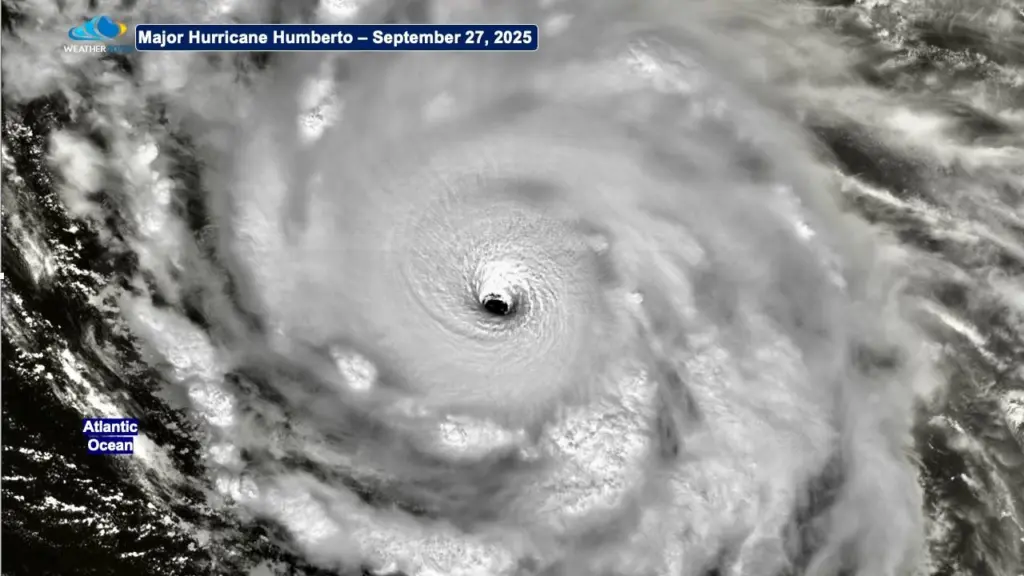
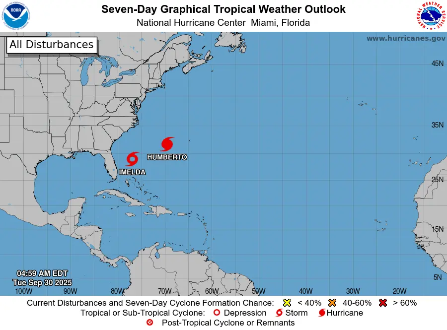
Fuji what??? A rather rare event called the Fujiwara effect may occur in the Pacific. What IS the Fujiwara effect? The Fujiwhara Effect is a rare meteorological phenomenon that occurs when two tropical cyclones come within about 900 miles of each other. Instead of moving independently, the storms can begin to orbit a common center point, almost like a square dance do-si-so over the ocean. It’s named for Japanese meteorologist Sakuhei Fujiwhara, who in 1921 studied how vortices like whirlpools and cyclones interact. He discovered that when two spinning systems get close, they tug on each other’s speed, strength and direction. The idea was later applied to tropical storms and hurricanes.
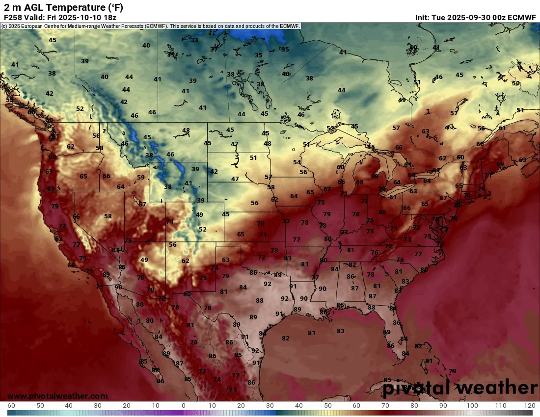
Now, let’s get back a little closer to home. We’ve had some unbelievable weather this week and will continue with mid 80s through the end of the week. What a way to start out the month of October!! Another record high is possible on Thursday as we are expected to top out in the upper 80s!!! However, all good things must come to an end, right? Well it does look like a big pattern change by the end of next week. Take a look at our European model and the expected highs for next Friday (Oct. 10th) :
The new LRC cycle starts around Oct. 6th and we do see a big pattern change from what we have currently. This means a stormy start to the NEW LRC cycle? It appears so. Stay tuned…..