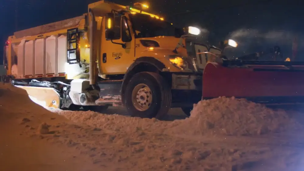
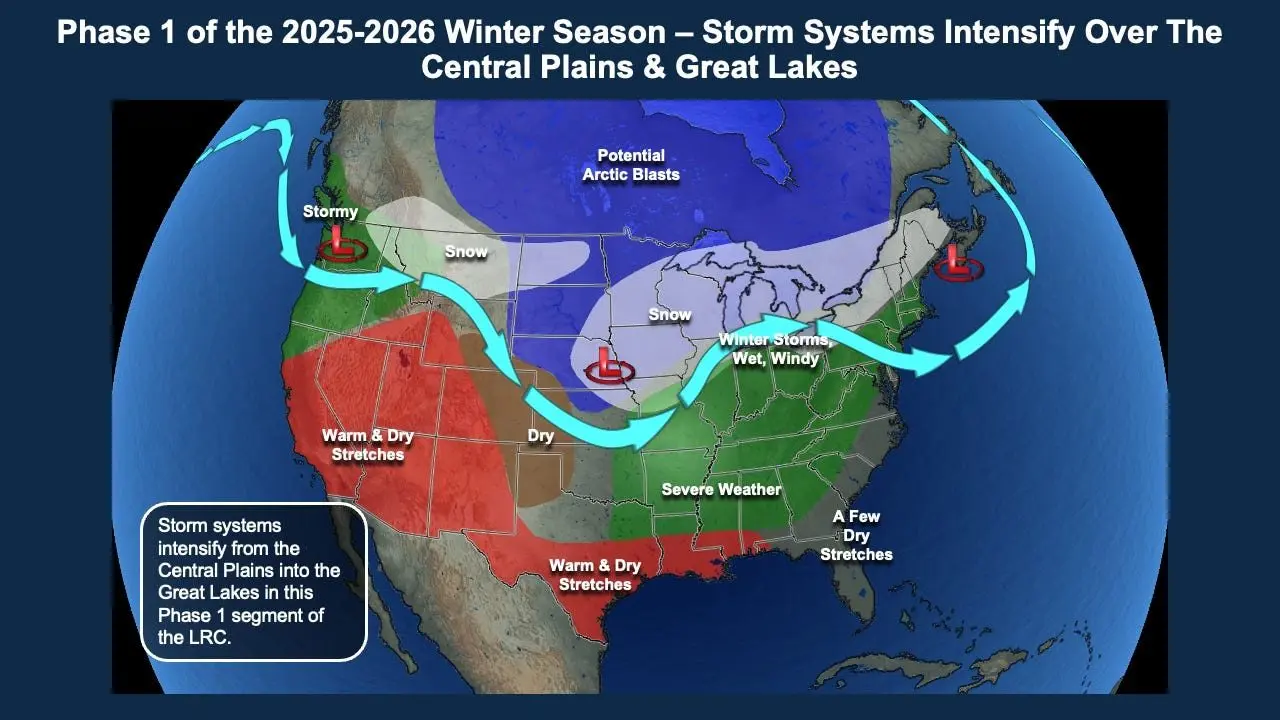
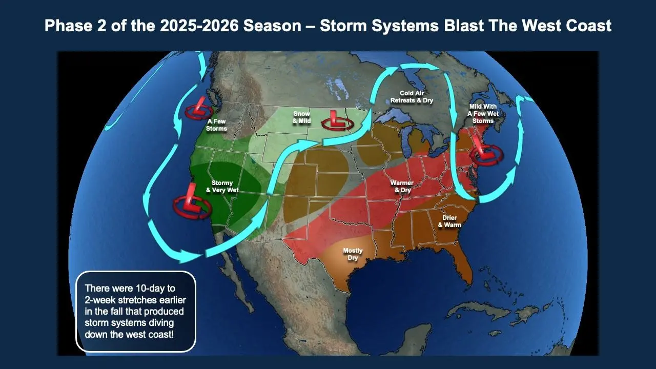
Yeah, I know….winter has ALREADY begun and we are starting out the winter a touch below normal in regards to snowfall but ahead of last year at this point. This is going to be a crazy up and down winter with 2 main LRC cycles. First the “clipper train” which has brought us a few storms already with blizzard conditions:
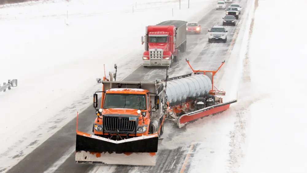
The second part of the LRC cycle (the non dominant one) will induce the Colorado lows which will bring mainly the bigger spring storms to our area
Here’s a look at the F/M area in regards to peak storm periods:
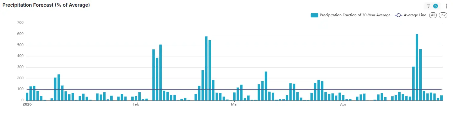
January will have a lot of “clippers” with a bigger storm possible around the 8th-10th. Otherwise you can see just minor systems.
February will be a colder than normal month with a few “stormy cycles” around the 6th-12th and 18th-24th
March will be a quick rebound month in regards to temps with the month averaging above normal. March looks like a more active month as well with peak stormy periods at the start of the month…the 8th-10th, 17th-19th, and the 23rd-26th.
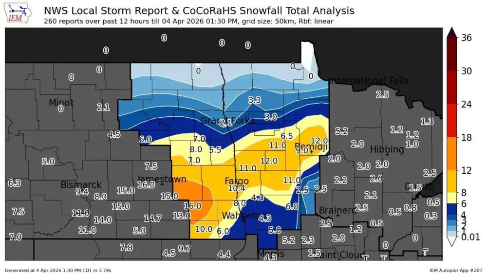
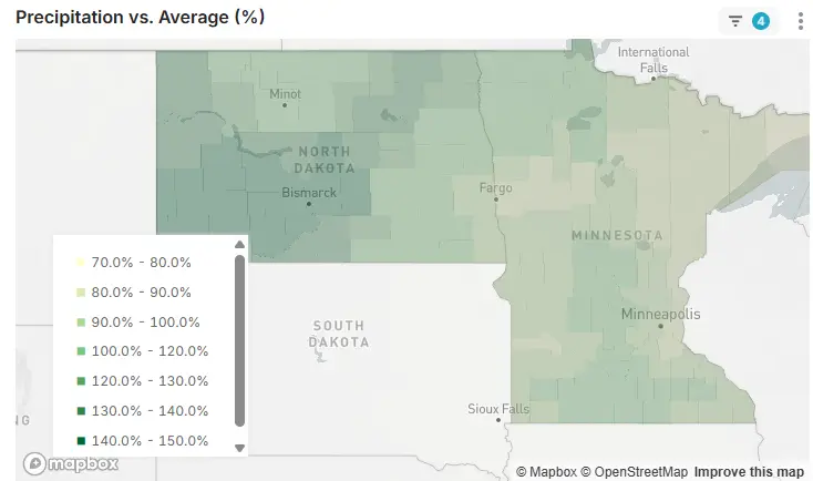
On a whole for ND/MN during this winter, precipitation should average at or above normal for North Dakota with slightly below normal precipitation for Minnesota:
If you would like a more detailed look into our winter and spring, go to www.weather2020.com for more information.