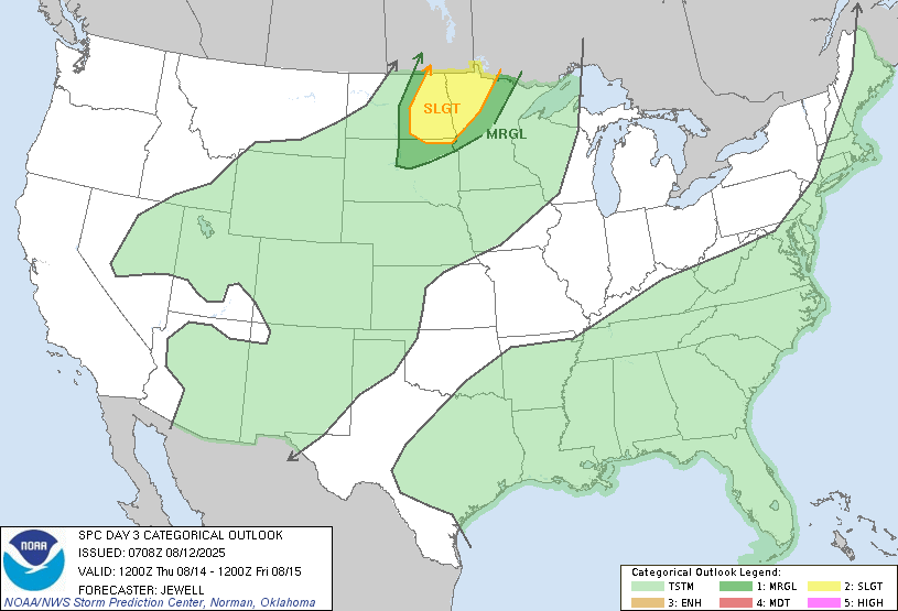
Canadian smoke continues to effect the air quality around the area to different degrees depending on the upper level winds. We will see a brief break from that Wed/Thu of this week as our winds turn out of the south. We will also see a few chances for storms (mostly evening and overnight) midweek onward as a series of fast moving systems race across southern Canada.
Our first chance for storms comes in Wednesday night as a warm front lifts north. Scattered storms are possible after 6pm but are not expected to become severe but a few could pack some muscle in the S. Valley. Now as we turn the corner into Thursday, warm and humid air will be present over the area. A cold front will be approaching the area by evening and this is expected to trigger off some storms in the evening and some of those could be severe with large hail being the main threat.
It will be a similar set up to what we had Monday evening when storms raced through Rutland ND. Here’s a look at what happened in Rutland:

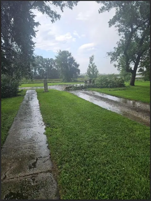
Courtesy: Sarah Pavek
After the cold front Thursday evening, temps trail off a bit for the weekend with highs in the upper 70s to near 80.