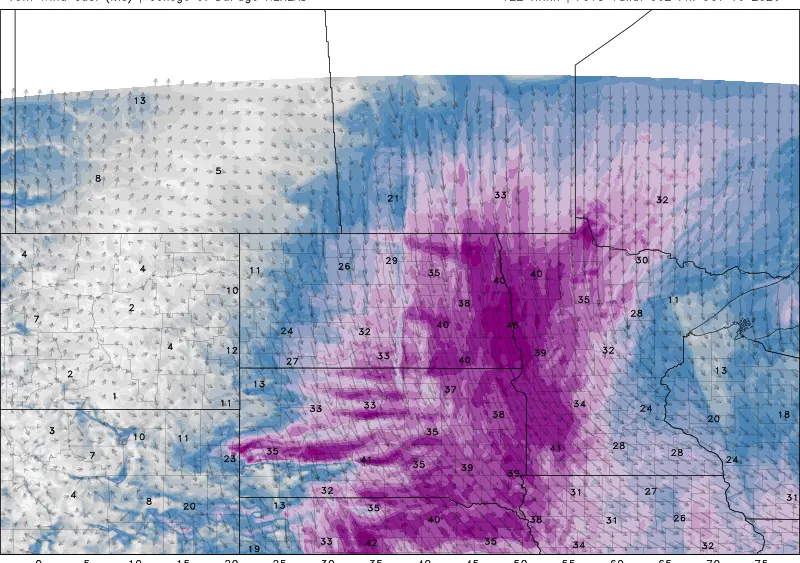
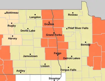
Another HOT one today with Heat Advisories in effect from Fargo northward with heat index readings around 100 to 105 today:
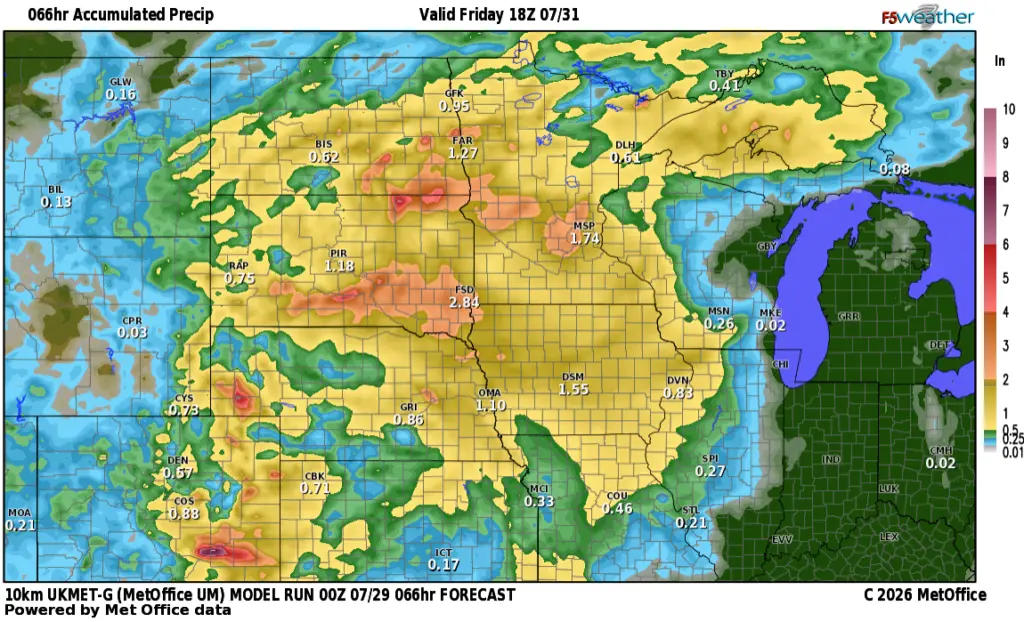
After today’s heat, a good chance for storms comes into the area on Thursday late afternoon through midnight. Here’s a look at various models forecasts for rainfall. Keep in mind, with thunderstorms, some areas could pick up 1″ while 25 miles down the road, not much at all.
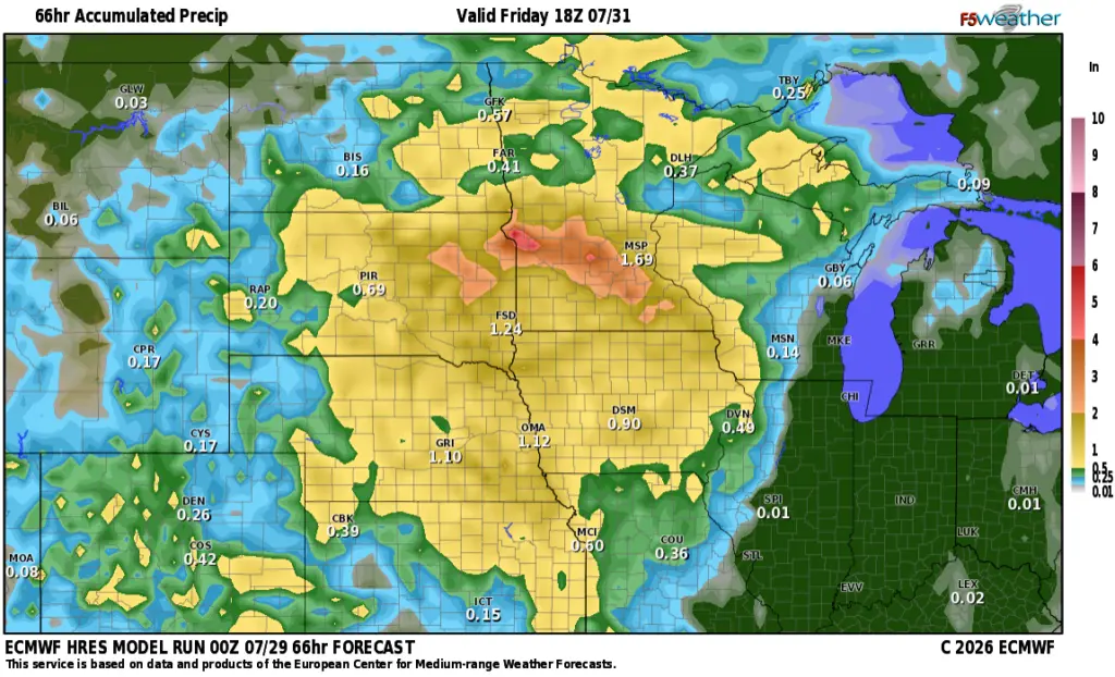
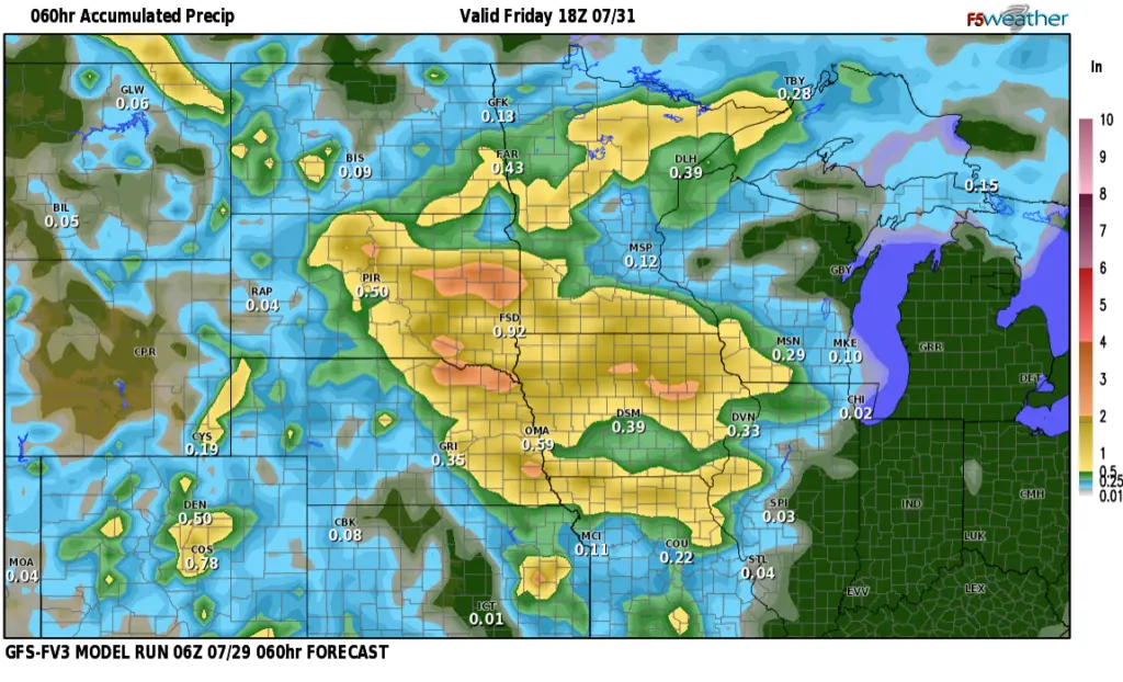
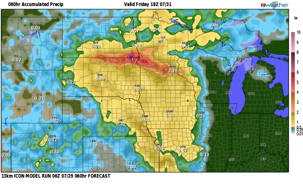
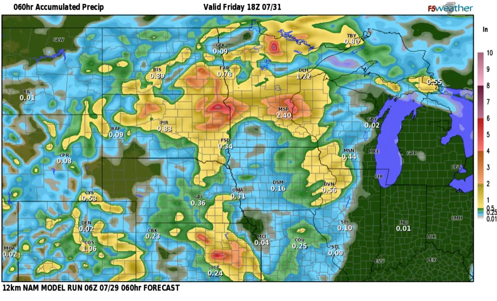
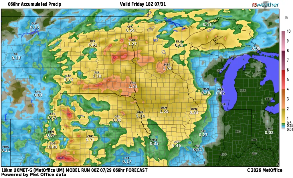
Quite a variety of rainfall amounts but that’s typical with thunderstorms. I’m thinking around .50″ or so around the F/M area with higher amounts in the S. Valley into Southern Lakes country.
After a hot weekend, it looks like a nice Canadian airmass moves into the area for next week with highs in the low 80s and morning lows in the 50s!!