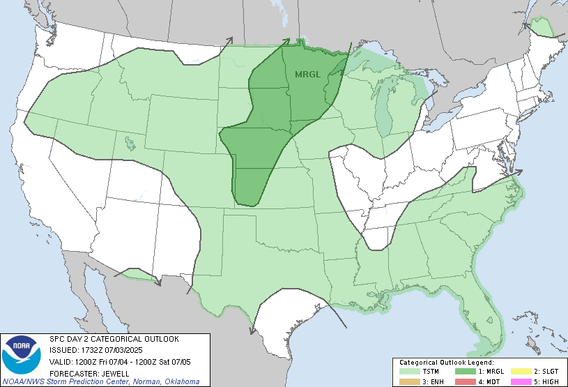
Mother nature may well put on her OWN show on Friday evening into the overnight hours as a cold front will slam into the heat and humidity of the daytime hours. First off though, we do have a chance for severe storms THURSDAY night into the NC and NE parts of North Dakota :
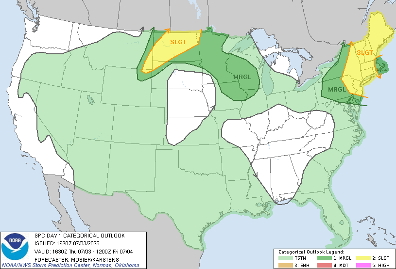
Storms will develop in Western ND in the evening then race northeastward into Devils lake basin then into NW Minnesota. Main threat would be damaging winds and hail.
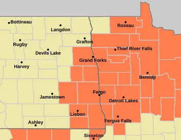
Then our focus turns to the 4th of July and it looks like a HOT and humid day with HEAT ADVISORIES in effect for much of the area with heat index readings reaching 100 to 105
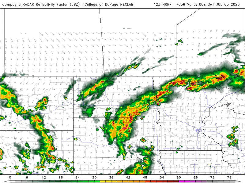
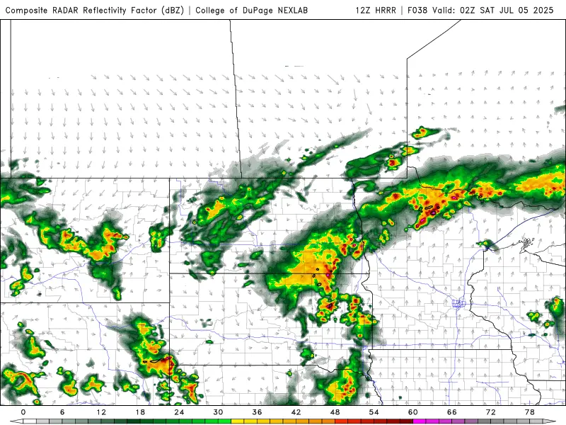
Then by around 9pm:
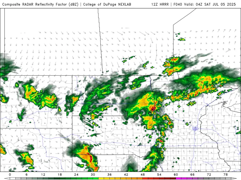
Then by 11pm:
Be weather aware this Friday into Friday night. Thankfully, the rest of the weekend looks less humid with improving conditions.